Norway's Valdresflye is one of the country's top driving experiences. If you're planning a road trip through central Norway, here's everything you need to know.
Few Norwegian experiences are more enjoyable than a mountain road trip. If you enjoy driving, than a car-based vacation is hard to beat. Many of Norway's roads have received substantial investment in recent years, improving the driving experience.
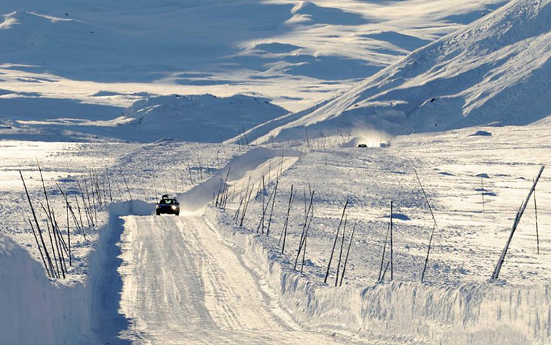
Yet traffic remains light on many of the routes. This means you can focus on taking your time and enjoying the scenery, rather than rushing to your next destination.
In the latest in a series of articles looking at some of Norway's best road trips, we turn to the heart of the country. Enjoy!
Table of Contents
Introducing Valdresflye
As with many of Norway's mountain roads, Valdresflye (also spelled Valdresflya) has its roots in a critical transport link. It allowed people to run summer farms on the mountain pastures and more easily move the goods down to the fjords.
But what was once a critical north-south link over the Norwegian mountains is today the gateway to some of Norway’s best outdoor experiences.
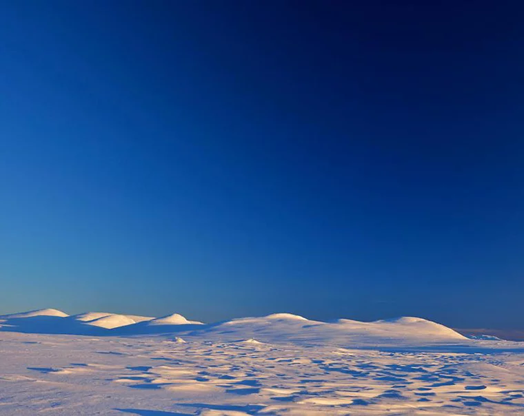
At one end, the mountain ski resort of Beitostølen. At the other, Norway’s tallest mountains in Jotunheimen National Park. But soaring to 1,389 metres above sea level, the 49km-long Valdresflye road is also a tourist attraction in itself.
Valdresflye is one of the 18 designated Norwegian Scenic Routes. The long-term programme of investment by the Norwegian Public Roads Administration (NPRA) is designed to manage and improve the driving experience in scenic areas, helping to develop sustainable tourism.
A memorable Norwegian road trip
But aside from a couple rest stops, not much else was needed here. The scenery is outstanding, yet lacks one specific highlight. The composite experience is what matters here.
A Valdresflye road trip be combined with some of the other 18 roads, including Sognefjellet for those skirting Jotunheimen National Park. The Rondane and Aurlandsfjellet roads are also within a few hours’ drive.
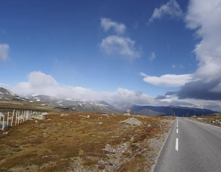
As with many of the national scenic routes, Valdresflye is closed for the worst of the winter weather. Its opening date is weather dependent, but snow clearance normally takes place by early April.
However, the road stays open longer than many of the others, often as late as Christmas. This means you can time your trip for the height of summer for the clearest views or take your chances in the moody lighting conditions of late autumn.
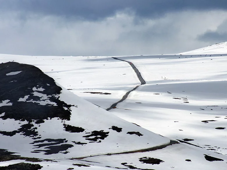
There’s plenty of snow on the ground for the first few weeks after its April opening, a popular time to visit for the most unique driving experience.
A mountain cafe
As part of the NPRA investment, a new cafe has just been opened at the highest point on the route to complement the existing rest stop and architectural points of interest. Named Flye 1389, the cafe is sure to be a popular tourist spot.

The curved, sloping light wooden exterior has been designed to blend in with the scenery as much as possible, with glass windows allowing guests to appreciate the view in all directions.
Although owned by the NPRA, the cafe will be run by the Norwegian Trekking Association (DNT). This unusual arrangement means the food on offer should certainly be geared to hungry hikers!
The simple menu will feature local food from the Valdres and Gudbrandsdalen valleys. Of course, this being Norway, there’s an electric car charging station too.
Through July and August this year, the cafe will be open daily 10am-6pm. Given the travel and business restrictions through the year so far, opening hours in the 2021 season and beyond are likely to be different.
Scenic stops along Valdresflye
A short detour from Valdresflye brings you to the parking lot for the scenic Gjende lake at the eastern edge of Jotunheimen National Park.
Keen hikers can attempt the famous Besseggen ridge for a spectacular view of the green Lake Gjende and the blue Lake Bessvatnet, but it’s well worth a stop just for those wanting to stretch their legs too.
There’s no need to rush along Valdresflye. Several more rest stops actively encourage drivers to slow down and complement the scenery. If you're not a hiker, then stop at one of the summer mountain farms. Here you can sample local butter, sour cream and cheese, all traditionally produced.
Steinplassen is home to the rather matter-of-fact named artwork “Rock on Top of Another Rock,” mimicking the tradition of building rock cairns in the mountains.
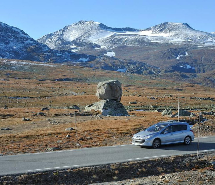
The parking lots at Vargebakkane and Rjupa both provide the opportunity to take in the natural panoramas. Both are wheelchair accessible. Rjupa is also the starting point for several hikes into Jotunheimen.
Birdwatching along Valdresflye
Keen birdwatchers can potentially spot every single one of the Norwegian mountain species on a Valdresflye trip. Most can even be seen from the road. The moorlands and small waters around Fisketjerni are home to ducks and waders.
From the summit of Fisketjernnuten, not only is the view spectacular but you'll be sharing it with plenty of bird species too. The list includes Long-tailed Jaeger, Rock Ptarmigan, Eurasian Dotterel, Horned Lark, Lapland Longspur, and Snow Bunting. For more information, see Birdingbed.
Dangers on the road
Those not used to driving in Norway should take care along Valdresflye. At such altitude the weather and visibility can change quickly. High winds can start suddenly at any time of year. If there’s snow in the surrounding landscape, this can quickly cause difficult winter driving conditions.
But there’s dangers at the height of summer too. Local reindeer tend not to distinguish between the rocks and the road, so keep your speed low and your eyes peeled.
Before you set off, make sure to familiarise yourself with driving rules in Norway. They may well be different to what you're used to!
Have you driven the Valdresflye mountain road? How was your experience?
This article is adapted and expanded from the original published on Forbes.com.


The road trip on the Valdresflye, is extremely similar to a road trip on the Beartooth Highway between Red Lodge, Montana and Cooke City at the entrance to Yellowstone National Park in the United States, except the road is only open in the summer months…..but the photographs you show look identical to the terrain of the Beartooth Highway. The Beartooth Highway is about 60 miles long. Very impressive!
We just drove through and back Valdresflye as a sight seeing trip while staying in Lom and then through again on our way to Rjukan. The article describes our experience exactly. An amazing drive, stoping here and there to just take it all in, stopping at Flye Kaffe but buying nothing because the prices where too expensive but then a few km later finding BitBua (later googled it and is apparently very popular place) selling fresh made Lapper and local brown goat cheese (which we had to take home because is delicious. After Fagernes we continued towards Gol and then towards Geilo turning to road 40 and then enter FV124 and that scenery in FV124 was very special and stunning too. We driven many of the scenic roads in Norway and I recall on my first years in this country and coming from a desert climate with little green, how amazed I was by the beauty of this country, it doesn’t wear out and in fact the more I see and experience, the more I can see the difference and beauty of each region with the distinctive nature. This year was special because usually in high season there are not many Norwegians on the road, but lots and lots of tourist from abroad visiting all the iconic places, I think by now I’ve seen more of Norway both by hiking, driving and train than in my own country. All the best.