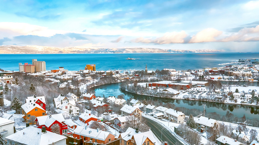
You are never far away from a forest hiking trail in Trondheim, Norway. But now to make it even easier to exercise, 10 marked urban trails mean there's never an excuse not to get off the sofa!
Six months of travel restrictions mean that I've travelled way less than usual this year. Not good for a travel writer! But my curiosity has been satisfied–at least in part–by rediscovering by adopted home town, Trondheim.
I've always had a curious mind about cities and love to explore them away from the main sights. Here in Trondheim, a new network of marked trails in and around the city itself encourages me and others to do just that.
Norwegian ‘friluftsliv' in the cities
One thing I've always loved about Norwegian cities is that within minutes, you can be out in nature. This applies in all the big cities, even Oslo.
I'm sure it's a major contributor to the Norwegian love of the outdoors. The outdoor lifestyle (friluftsliv) is infectious, even when you live in the city.
Trondheim's 10 city walks
There's plenty of great walks available in Trondheim up on the Bymarka hiking trails. But the Trondheim branch of the national hiking association teamed up with the local council to create a new network of 10 hiking trails in the city itself.
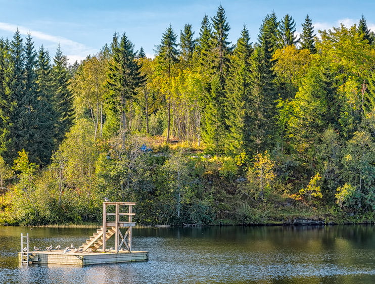
They vary from 3.3km to 7km in length and are all designed as loops, meaning you can start the trail anywhere along the route.
Known as the nærtur project, it encourages locals to get active. New trail signage and information boards along with online maps are in process of being implemented across the city.
“The goal is to make it easier for people to get out on a walk in their own immediate area, combined with getting to know their city better,” said Trondheim Hiking Association's Jonny Remmereit ahead of the the launch.
It works well! I walk a lot at the weekends, and the trails have encouraged me to walk farther. Here are a couple of my favourites:
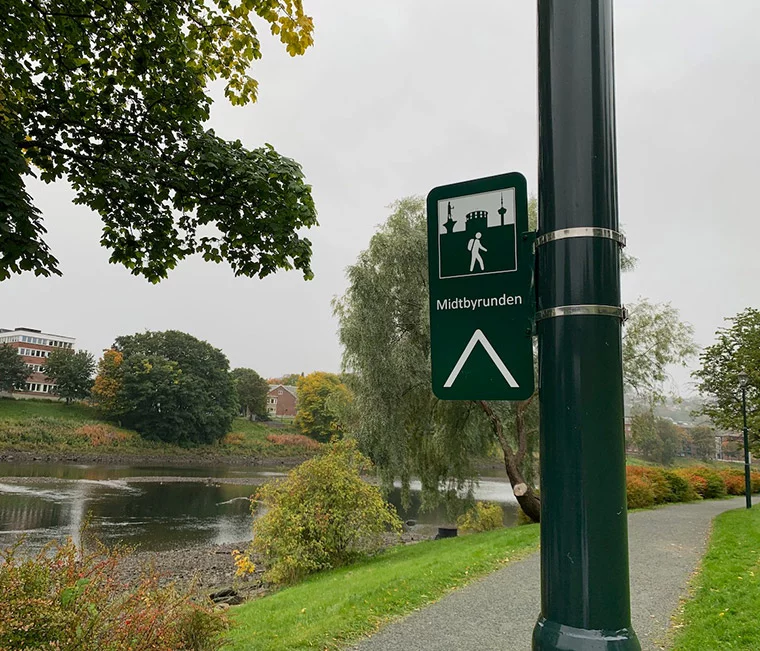
Midtbyrunden: The city centre circuit
Midtbyrunden is the perfect introduction to central Trondheim. There are three recommended starting points with information boards at Solsiden, Marinen and Skansen, but of course you can start wherever you like.
Water is almost always in sight throughout the route as the tour takes you along the fjord, river and canal. Highlights on the route include Nidaros Cathedral, Bakklandet, the bathing spot Sjøbadet and the handful of footbridges crossing the Nidelva river.
Even though this route encircles the city centre, it doesn't take you through the main shopping areas. It mainly consists of dedicated footpaths along the waterfront, so you rarely feel any bustle.
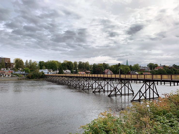
Leirfossrunden & Tillerrunden
These two newer circuits meet not too far from where I live, so I've explored both this year. A long stretch of the river and two hydropower stations at waterfalls are the highlights of Leirfossrunden.
The river is an important natural area with great variation in plant and animal life. It is a key area for biological diversity and is subject to special conservation considerations. The 5.2km route also includes the paths that link residential areas Sjetnemarka, Okstad and Kroppanmarka.
To most people, Tiller is simply a housing estate in the south of Trondheim near the shopping mall City Syd. But dig a little deeper and you'll find some fantastic nature trails.
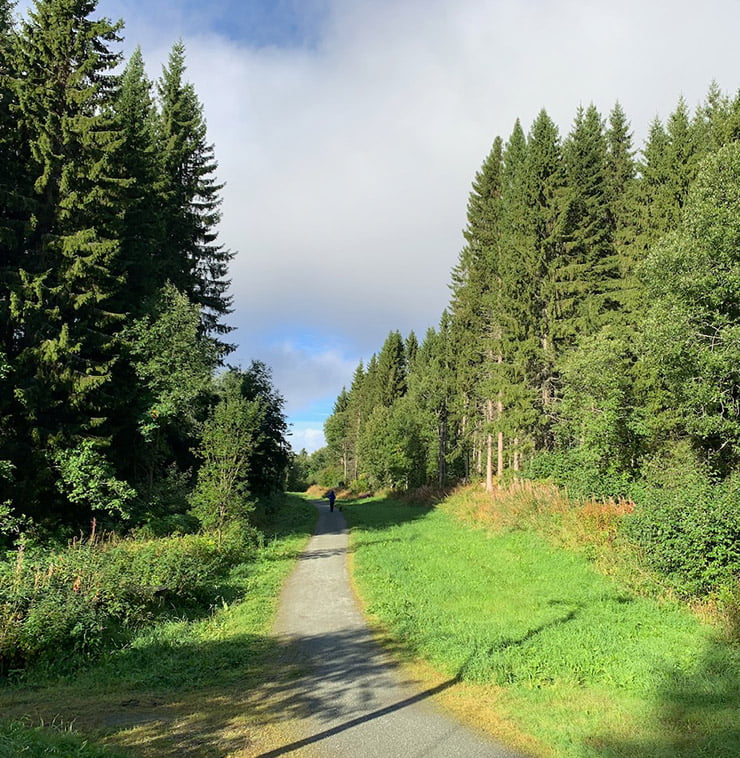
Even though I live close by, I didn't realise quite how many enjoyable walks there were in Tiller until the opening of the 6.8km Tillerrunden. Its proximity to City Syd makes it easy to grab a coffee and pastry at the end of your walk!
As with the other routes, Tillerrunden features several information boards along the route. These are especially interesting, featuring information about the drainage of Sjetnmyra, the Tiller landslide of 1816, the former campsite and even a former airport.
Forsvarsrunden: The “defense circuit”
Close to downtown Trondheim, the 5.4km-long Forsvarsrunden takes walkers through an area of historical interest.
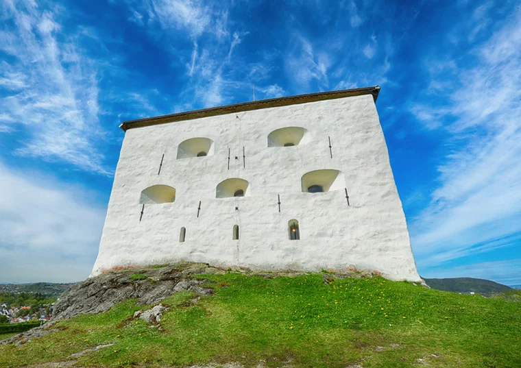
The most notable monument is Kristiansten fortress, built in a strategic defensive location and therefore with great views of the city centre.
You can learn more about the area and the other historical points of interest at the six information boards dotted around the route.
There are several of the routes I'm yet to explore, and a couple more still to formally open. For full details on all the other routes, you can check out this website. God tur!


Do the information boards include English translation?