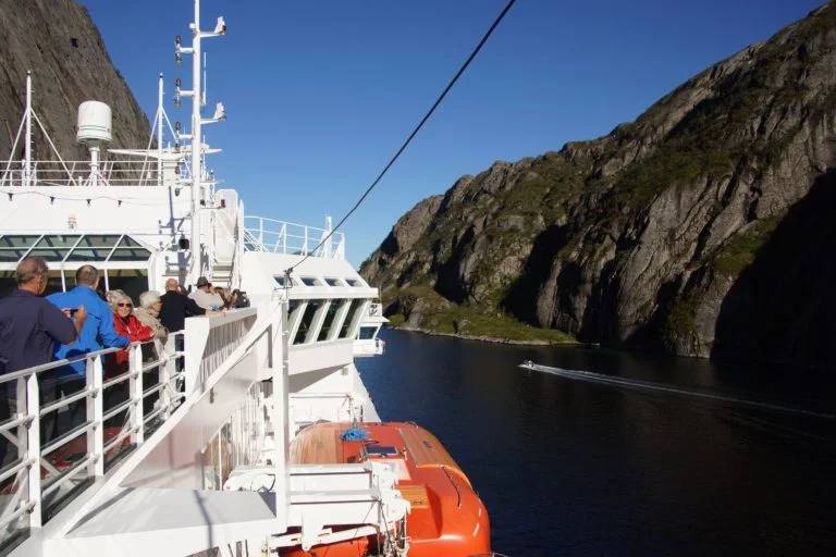
The first in a new series of photo essays bringing the best of Norway's stunning natural environment to your screen.
The relationship between people and the water in Norway is as tight as Brits and their tea. Whether it's coastline, fjord, lake or river, water is everywhere in Norway and Norwegians make the most of it.
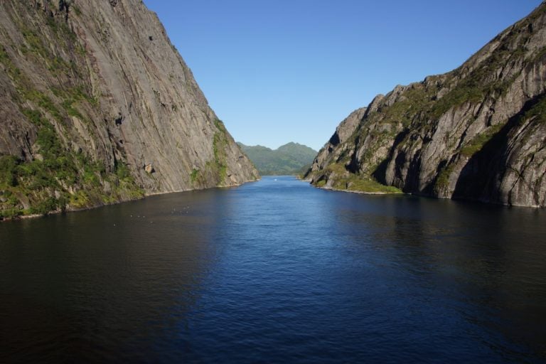
The Trollfjord is one of Norway's narrowest bodies of water. There's no roads anywhere near this thin slice of beauty near Lofoten, so if you want to see it, you have to take to the water. Organised trips leave Svolvær harbour every day during the summer.
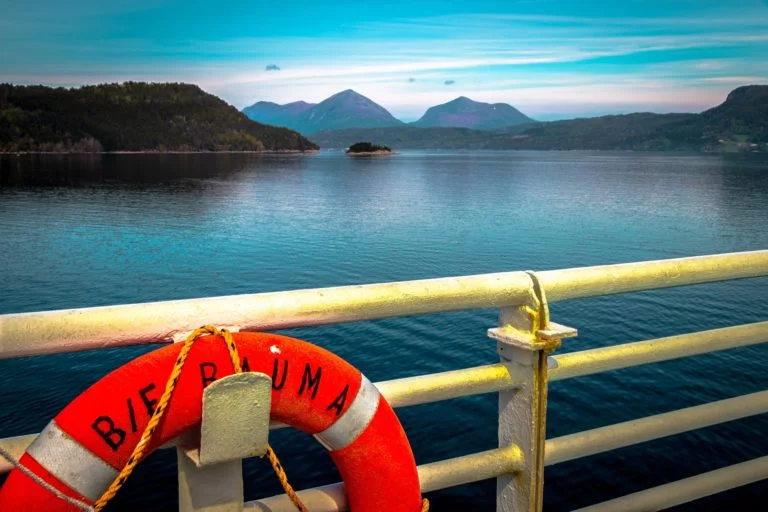
Fjord boat trips are a common tourist activity, but they're also a critical mode of transport for locals too. Despite lots of bridges and tunnels being built in recent decades, local ferries still provide a lifeline for small communities all across Norway.

With so much water, engineers have to get create. The Atlantic Road hops, skips and jumps across islands and skerries to link Averøya island with the mainland. In addition to the road trippers, it's a popular destination for deep sea fishing and birdwatching.

The Nidelva river bends around Trondheim‘s compact city centre and is lined with these beautiful former trading houses. The Old Town Bridge that crosses the river is one of the most photographed spots in the city. This wooden pier is a recent addition, designed by architecture students from the city's science and technology university, NTNU.
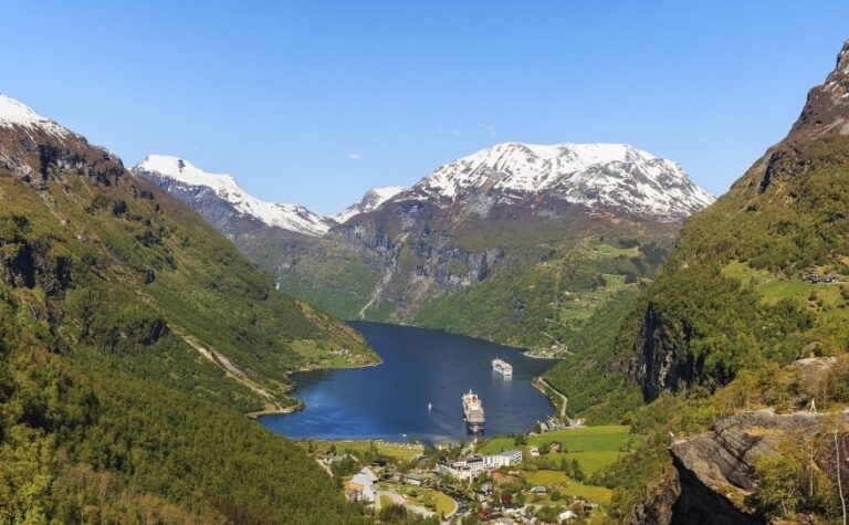
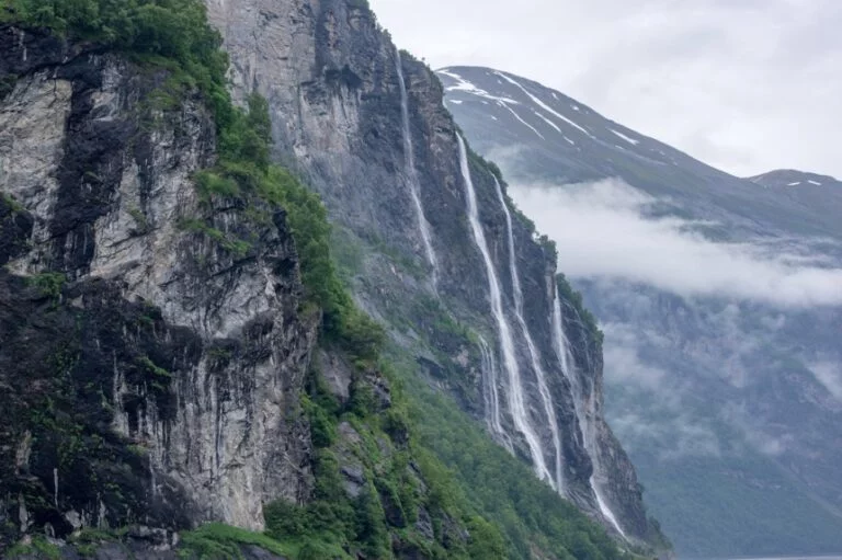
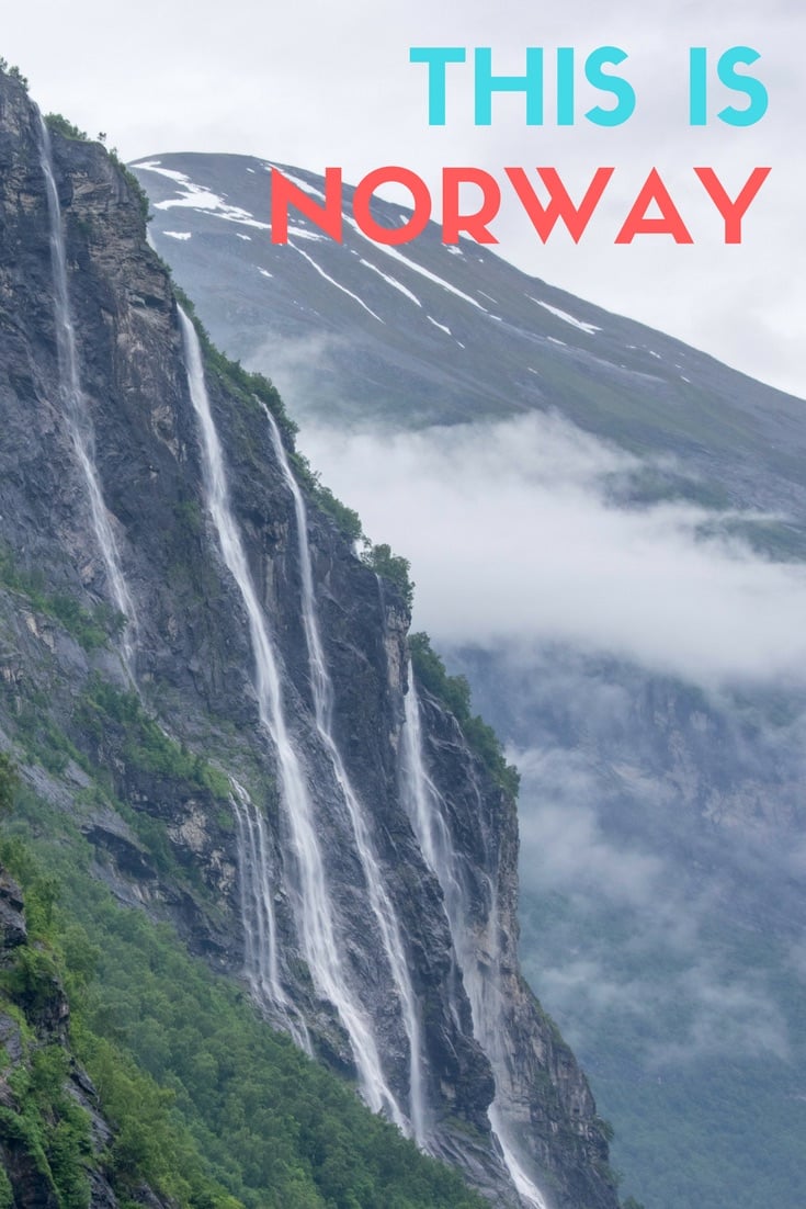
The country's most famous fjords are close to the west coast. Here, the UNESCO World Heritage listed sites like the Geirangerfjord and Nærøyfjord are characterised by steep green sides with abandoned farmsteads perched precariously on the clifftop and slender waterfalls tumbling down into the water.
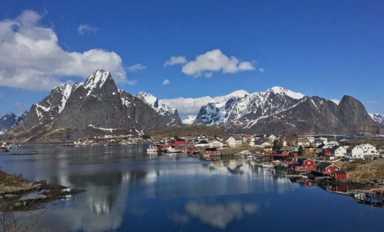

The dramatic Lofoten archipelago is arguably Norway's most beautiful region. The first image shows the village of Reine at the western end of the islands, while the second is the harbour of Svolvær, the biggest town.
Unfortunately the islands are creaking under increased tourism, leaving many to wonder what the future holds for this idyllic region.
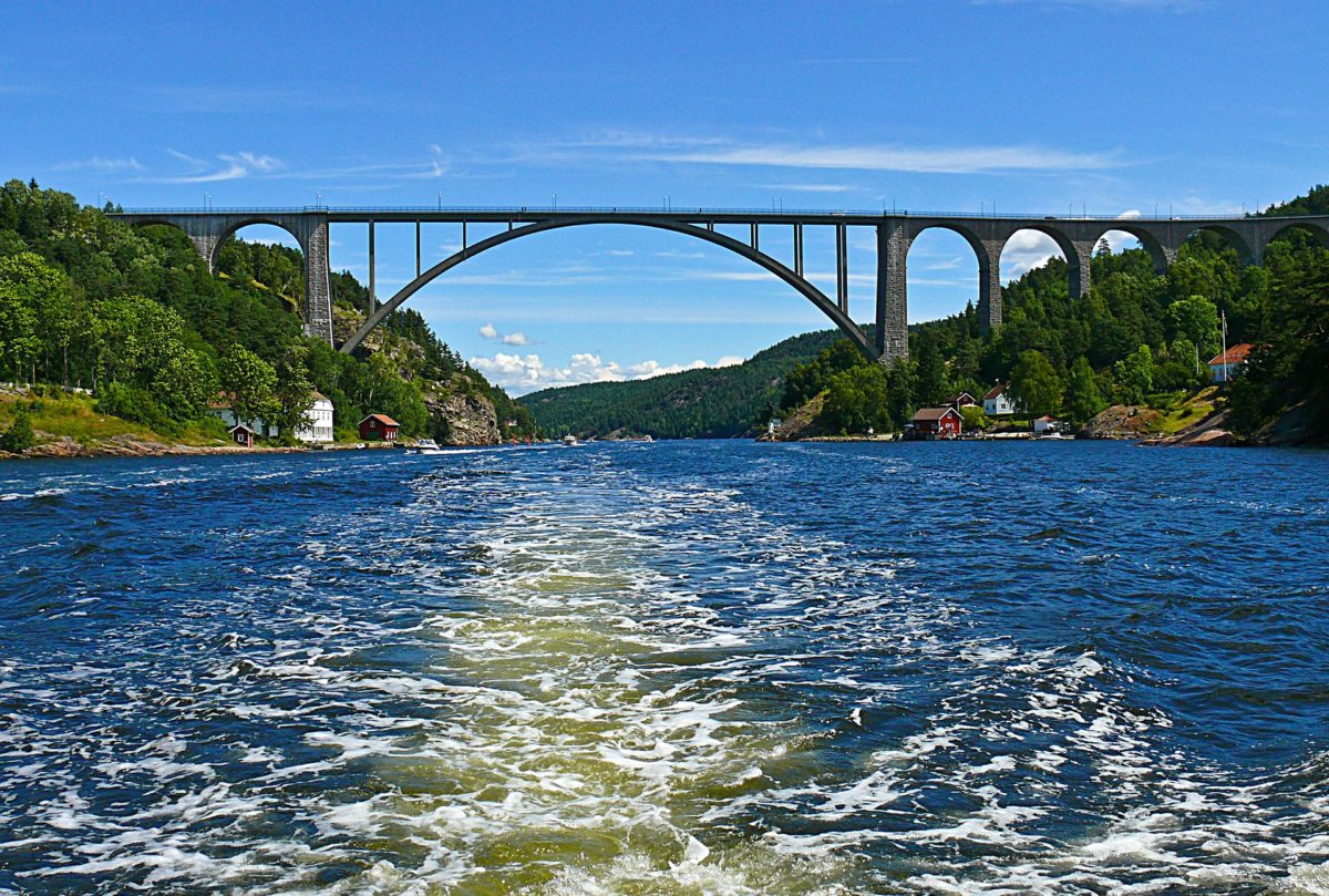
The Svinesund Bridge is a popular border crossing between Norway and Sweden. The bridge carries the E6 highway 200ft above the sound and is filled with cars making the journey between Oslo and Gothenburg, and to Malmö and Copenhagen.
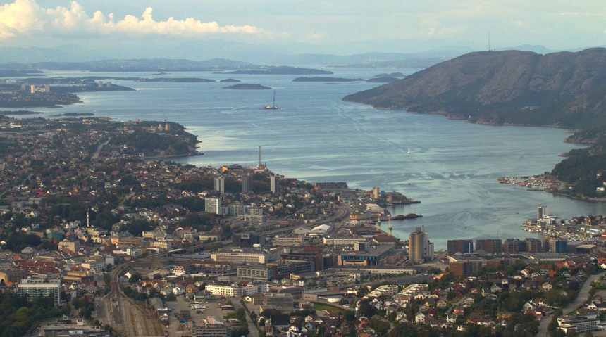
All of Norway's biggest cities are located by the coastline. Sandnes is located close to Stavanger and makes up one of Norway's biggest metropolitan regions after Oslo.
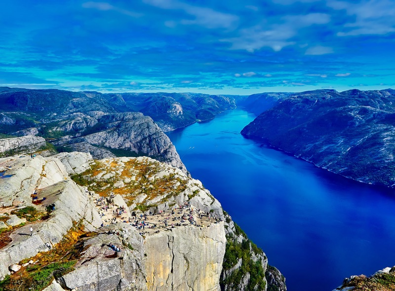
The spectacular Lysefjord is within easy reach of Stavanger and Sandnes.
The famous Pulpit Rock (Preikestolen) pictured above is a popular tourist attraction but can only be reached by a relatively demanding two-hour hike from the nearest car park at the Preikestolen Mountain Lodge.
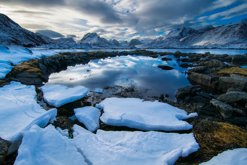
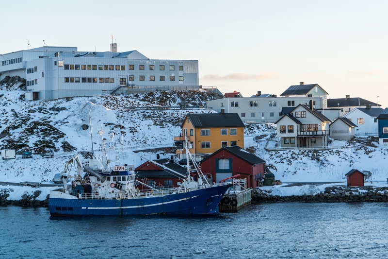
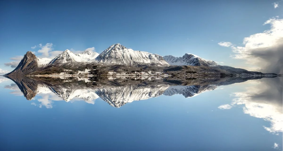
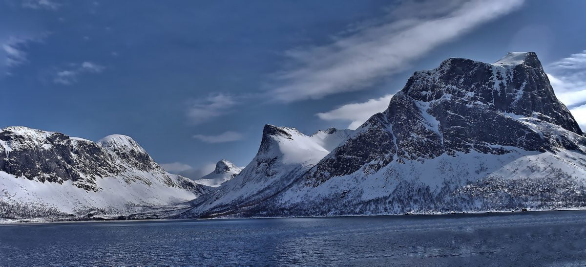
While most pictures of Norway highlight the rare good summer days, much of the country's coastline lies north of the Arctic circle. While the sea doesn't freeze, lakes often do and are sturdy enough to skate on and ski over.
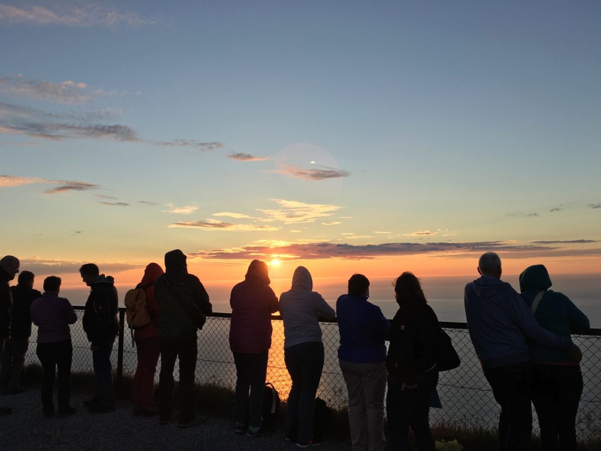
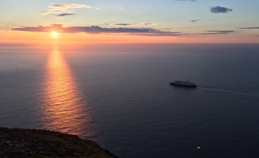
At the very north of Norway, the North Cape (Nordkapp) cliff overlooks the chilly ocean towards the very top of the planet. Crowds flock here at midnight during the summer months to see the midnight sun.
If you enjoyed this post, please pin it on Pinterest!


What a gorgeous photo essay of Norway and her Waters! I so appreciate you
sharing the beauty….. Water, among other things, traditionally symbolizes “spirit”
and “freedom” —- freedom from the earthbound….. and one can imagine, with those
massive, impressive mountains pressing down upon our little humanity, waterways
in Norway were cherished as both literal and figurative roads to freedom.
The Waters lighted our imaginations for what was possible!
Once again, thank you so much for all you share of my ancestral home .
I hope to make the full circle and live there again some day.
Beautiful photos 🙂 but one wee correction the sea does freeze up north in a few places.
I just returned from a trip to Norway and can’t wait to go back to see the rest. Great pictures but none can do justice to the Majesty of the scenery